GIS Technician Resume
Summary : Detail-oriented GIS Technician with 10 years of experience in geospatial data management and analysis. Proficient in ArcGIS and spatial analysis, with a strong focus on data quality and project coordination.
Skills : ArcGIS Pro, Spatial Analysis, Data Visualization, Geospatial Data
Description :
- Established and maintained a comprehensive municipal GIS, enhancing data accessibility for all departments.
- Produced detailed maps and graphics to support municipal projects, including field maps and official records.
- Drafted and proofread documentation, grant applications, and correspondence to ensure clarity and compliance.
- Managed updates to local databases, ensuring integration with county GIS systems for cross-platform use.
- Coordinated interdepartmental mapping projects, collaborating with planning, zoning, and public works departments.
- Conducted annual inspections and assessments to support municipal policies and compliance requirements.
- Prepared data matrices and graphics to meet regulatory requirements, including BMP inventories for engineering needs.

Experience
7-10 Years

Level
Senior

Education
BS
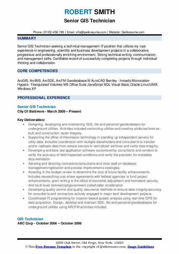
Senior GIS Technician Resume
Summary : Detail-oriented GIS Technician with 10 years of experience in geospatial data management, analysis, and database development. Proven track record in enhancing data integrity and supporting project success through innovative GIS solutions.
Skills : ArcGIS Online, Geospatial Analysis, Data Visualization, Spatial Database Management, GPS Data Collection
Description :
- Designed and maintained SDE, file, and personal geodatabases for utility management, enhancing data accessibility.
- Collaborated with IT to establish independent servers for utility data, ensuring data integrity and security.
- Developed and tested GIS applications to validate field conditions and improve metadata accuracy.
- Provided guidance on database management and process improvements to contractors and staff.
- Conducted budget reviews and researched funding opportunities for facility enhancements, securing federal grants.
- Implemented quality assurance methods to ensure data accuracy for major land development projects.
- Coordinated GIS programming for real-time GPS data acquisition, optimizing geospatial data collection.

Experience
7-10 Years

Level
Management

Education
B.S. Geography
GIS Technician I Resume
Summary : Detail-oriented GIS Technician with 10 years of experience in geospatial data analysis, mapping, and database management. Proven ability to enhance project outcomes through effective data integration and visualization techniques.
Skills : GIS Software Proficiency, Spatial Analysis, Data Visualization, Geodatabase Management, Cartographic Design
Description :
- Gathered, analyzed, and integrated geospatial data to enhance existing databases and support project goals.
- Compiled geographic data from diverse sources, including census data and topographic maps, for comprehensive analysis.
- Conducted spatial data analysis to generate geographic statistics and incorporated findings into detailed reports.
- Provided critical spatial data to management, facilitating informed decision-making for various projects.
- Performed thorough data analysis on field-collected datasets, ensuring high-quality deliverables and compliance with standards.
- Designed and updated geodatabases, leveraging knowledge of spatial feature representations to optimize data storage.
- Created and customized geodatabases and feature datasets in ArcCatalog, enhancing data accessibility and usability.

Experience
10+ Years

Level
Management

Education
BA
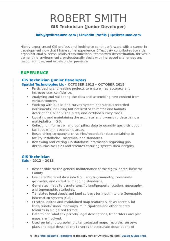
GIS Technician (Junior Developer) Resume
Objective : Detail-oriented GIS Technician with 5 years of experience in spatial data analysis, mapping, and database management. Proven ability to enhance data accuracy and support project goals through effective collaboration and technical expertise.
Skills : Spatial Analysis, Data Visualization, Map Production, Database Management, Cartography
Description :
- Led GIS projects to enhance map accuracy and user confidence through detailed analysis.
- Validated and analyzed spatial data, integrating new content from diverse sources.
- Utilized public land survey systems and various recorded instruments for accurate mapping.
- Maintained and updated land ownership data using advanced GIS platforms.
- Compiled data to quantify gas distribution facilities across geographic areas.
- Conducted research on archival records to verify facility installation details.
- Reviewed GIS database information to ensure data integrity and accuracy.

Experience
2-5 Years

Level
Junior

Education
Associates
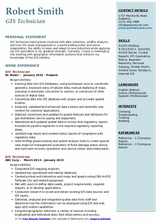
GIS Technician Resume
Objective : Detail-oriented GIS Technician with 5 years of experience in data collection, spatial analysis, and GIS asset management. Proven ability to enhance geographic data accuracy and support decision-making through effective mapping solutions.
Skills : Spatial Analysis, Data Visualization, Cartography, Geodatabase Management, Remote Sensing
Description :
- Entered and managed data in GIS databases using coordinate geometry and manual digitizing techniques.
- Converted diverse data sources into GIS databases with precise spatial locations.
- Analyzed and validated data content, enhancing applications for customer use.
- Digitized updates to spatial features for gas distribution systems, ensuring accuracy.
- Maintained spatial data for regulatory compliance, covering all pipeline segments.
- Updated map layers and generated compliance status reports for regulatory data.
- Utilized ArcMap for geoprocessing and spatial analysis, creating maps for flood damage assessments.

Experience
2-5 Years

Level
Junior

Education
BSc Geography
Junior GIS Technician Resume
Objective : Detail-oriented GIS Technician with 5 years of experience in geospatial analysis, data collection, and mapping. Proficient in GIS software and tools, with a strong background in environmental science and project support.
Skills : Geospatial Analysis, GPS Data Collection, Spatial Analysis, Data Visualization
Description :
- Executed field data collection and GIS analysis for diverse projects, ensuring high-quality outputs.
- Collaborated with multi-disciplinary teams to support federal, state, and municipal GIS initiatives.
- Conducted GPS data collection and post-processing, enhancing data reliability and accuracy.
- Provided technical assistance to field staff, ensuring effective data collection and adherence to protocols.
- Applied knowledge of coordinate systems for accurate data integration and conversion.
- Managed geodatabase creation and editing, ensuring data integrity and accessibility.
- Performed quality control checks on GIS data, preparing it for formal technical review.

Experience
2-5 Years

Level
Junior

Education
Certification
Lead GIS Technician Resume
Summary : Detail-oriented GIS Technician with 10 years of experience in spatial data analysis, mapping, and GIS software. Proven ability to manage complex projects and deliver accurate geospatial solutions to enhance decision-making.
Skills : Trimble GPS Software, GIS Data Management, Geospatial Design, Data Analysis Tools, ArcGIS Pro
Description :
- Managed GIS data by converting hand-drawn maps into digital formats, ensuring timely updates and accuracy.
- Designed project layouts by plotting routes and preparing detailed construction drawings for various projects.
- Provided exceptional support to internal teams, facilitating communication regarding ongoing construction projects.
- Conducted field research to verify map accuracy and assisted project managers with GIS-related tasks.
- Adhered to safety regulations while utilizing personal protective equipment during fieldwork.
- Implemented policies to maintain the accuracy and currency of GIS data across multiple platforms.
- Transformed data from various sources into GIS systems, enhancing data accessibility and usability.

Experience
10+ Years

Level
Consultant

Education
B.S. Geography
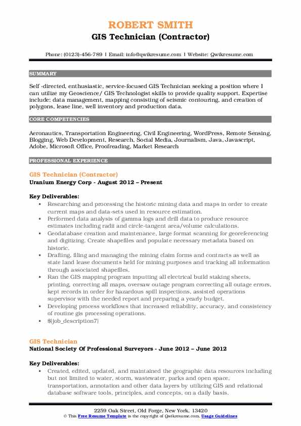
GIS Technician (Contractor) Resume
Headline : Detail-oriented GIS Technician with 7 years of experience in geospatial data analysis, mapping, and database management. Proven ability to enhance data accuracy and streamline GIS processes for improved decision-making.
Skills : Geospatial Analysis, Data Visualization, Geospatial Analysis, Cartography, Spatial Data Management
Description :
- Conducted comprehensive analysis of historical mining data to produce accurate, up-to-date maps for resource estimation.
- Performed detailed data analysis on geological logs to generate precise resource estimates and area calculations.
- Created and maintained geodatabases, ensuring accurate georeferencing and digitization of spatial data.
- Managed mining claim documentation and contracts, tracking all information through associated shapefiles.
- Oversaw GIS mapping operations, ensuring accuracy in electrical build staking and outage management.
- Developed efficient workflows that enhanced the reliability and consistency of GIS processing tasks.
- Collaborated with cross-functional teams to integrate GIS data into broader project frameworks.

Experience
5-7 Years

Level
Executive

Education
BSc Geography
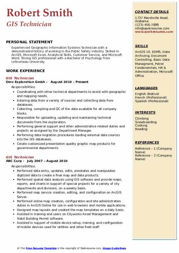
GIS Technician Resume
Summary : Detail-oriented GIS Technician with 10 years of experience in spatial data analysis and mapping. Proficient in ArcGIS and data management, delivering high-quality geospatial solutions for diverse projects.
Skills : ArcGIS Pro, Geospatial Data Management, Spatial Data Analysis, GIS Documentation, Data Quality Assurance
Description :
- Collaborated with technical teams to fulfill geographic and mapping requirements.
- Entered and validated data from multiple sources, ensuring accuracy and completeness.
- Conducted quality control on geospatial data for all company projects.
- Managed the upload and maintenance of technical documents related to GIS.
- Provided administrative support and project assistance as directed by management.
- Executed data migration processes, integrating external data into GIS databases.
- Produced customized, presentation-quality maps for governmental agencies.

Experience
10+ Years

Level
Management

Education
BSc Geography
GIS Technician Resume
Summary : Detail-oriented GIS Technician with 10 years of experience in geospatial analysis, data management, and mapping. Proficient in ArcGIS and spatial data integration, committed to delivering high-quality results in dynamic environments.
Skills : GIS Software Proficiency, Geospatial Data Management, Spatial Analysis, Data Visualization, Cartography
Description :
- Managed the development and maintenance of geospatial data for state housing programs using ArcGIS and MapInfo.
- Created and updated comprehensive housing maps for various agencies, enhancing program visibility and accessibility.
- Conducted data analysis and visualization using Microsoft Access and Excel, collaborating with a team of researchers.
- Produced annual performance reports and analyses for federal and state housing initiatives, ensuring compliance and transparency.
- Surveyed utility providers to establish state-wide utility allowances, optimizing resource allocation for housing organizations.
- Supported special projects, including compliance reporting for HUD and tax credit programs, ensuring accurate data representation.
- Developed locator maps for disaster recovery efforts, aiding field personnel during Hurricane Harvey operations.

Experience
10+ Years

Level
Management

Education
BSc Geography


