Responsibilities for the post of Survey CAD Technician include creating constructing staking point files, completion of plats for As-built, boundary, title, tree, and topographic surveys, as well as the creation of digital terrain models from traditional ground survey data and drone mapping 3D point files. Essential duties and responsibilities associated with the post are listed on the Survey CAD Technician Resume as – preparing stakeout notes and point files for a variety of construction projects, preparing digital terrain models and contouring, reading and understanding plans and specifications, searching legal and survey records and land titles to obtain information, and performing earthwork volume calculations.
Desired skills and experience include – previous land survey or engineering experience, proficiency in AutoCAD, experience in Land Desktop or Carlson Software, and the ability to read and interpret construction plans for generating field layout data. An associate’s degree in land surveying or civil engineering and knowledge of using land surveying field equipment is a plus.
Objective : Dynamic and detail-oriented Survey CAD Technician with 2 years of experience in drafting and surveying. Proficient in utilizing CAD software to create precise drawings and models for various projects. Skilled in interpreting field data and transforming it into actionable designs. Committed to delivering high-quality results and enhancing project efficiency through effective collaboration.
Produced detailed plot plans and CAD drawings from survey data and field notes.
Mapped existing utilities and proposed alignments for new infrastructure projects.
Utilized CAD software to digitize and update municipal drawings, ensuring accuracy.
Supported engineers in developing site plans and utility system designs.
Conducted site drainage analysis and created related CAD documents.
Translated sketches and design concepts into precise CAD representations.
Maintained organized project files and documentation for efficient access.
Experience
0-2 Years
Level
Entry Level
Education
AAS Drafting
Junior Survey CAD Technician Resume
Objective : A highly motivated Junior Survey CAD Technician with 5 years of experience in drafting and surveying. Proficient in AutoCAD and Civil 3D, skilled in converting field data into accurate CAD drawings. Adept at collaborating with teams to deliver projects on time while ensuring precision and adherence to industry standards. Eager to contribute to innovative surveying projects and enhance operational efficiency.
Adhered to company CAD standards to ensure client satisfaction.
Interpreted and plotted recorded deeds and plats for diverse property surveys.
Prepared various types of survey plats and exhibit drawings from field data.
Addressed title commitment items according to ALTANSPS requirements.
Downloaded and processed field data using AutoCAD Civil 3D for accurate stakeout calculations.
Collaborated with team members to resolve discrepancies through data analysis.
Contributed to special project plans and additional tasks as needed.
Experience
2-5 Years
Level
Junior
Education
AAS Surveying
Survey CAD Technician Resume
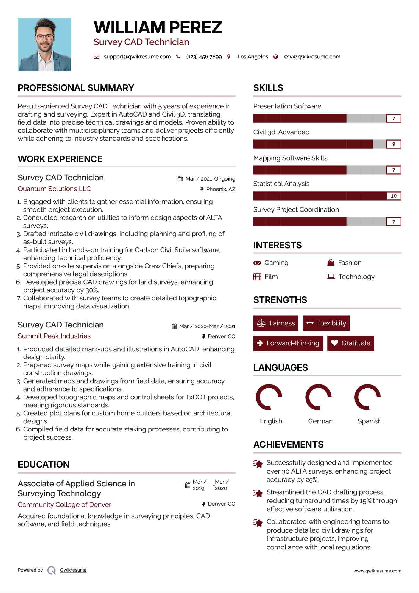
Objective : Results-oriented Survey CAD Technician with 5 years of experience in drafting and surveying. Expert in AutoCAD and Civil 3D, translating field data into precise technical drawings and models. Proven ability to collaborate with multidisciplinary teams and deliver projects efficiently while adhering to industry standards and specifications.
Developed precise CAD drawings for land surveys, enhancing project accuracy by 30%.
Collaborated with survey teams to create detailed topographic maps, improving data visualization.
Experience
2-5 Years
Level
Executive
Education
AAS in Surveying
Senior Survey CAD Technician Resume
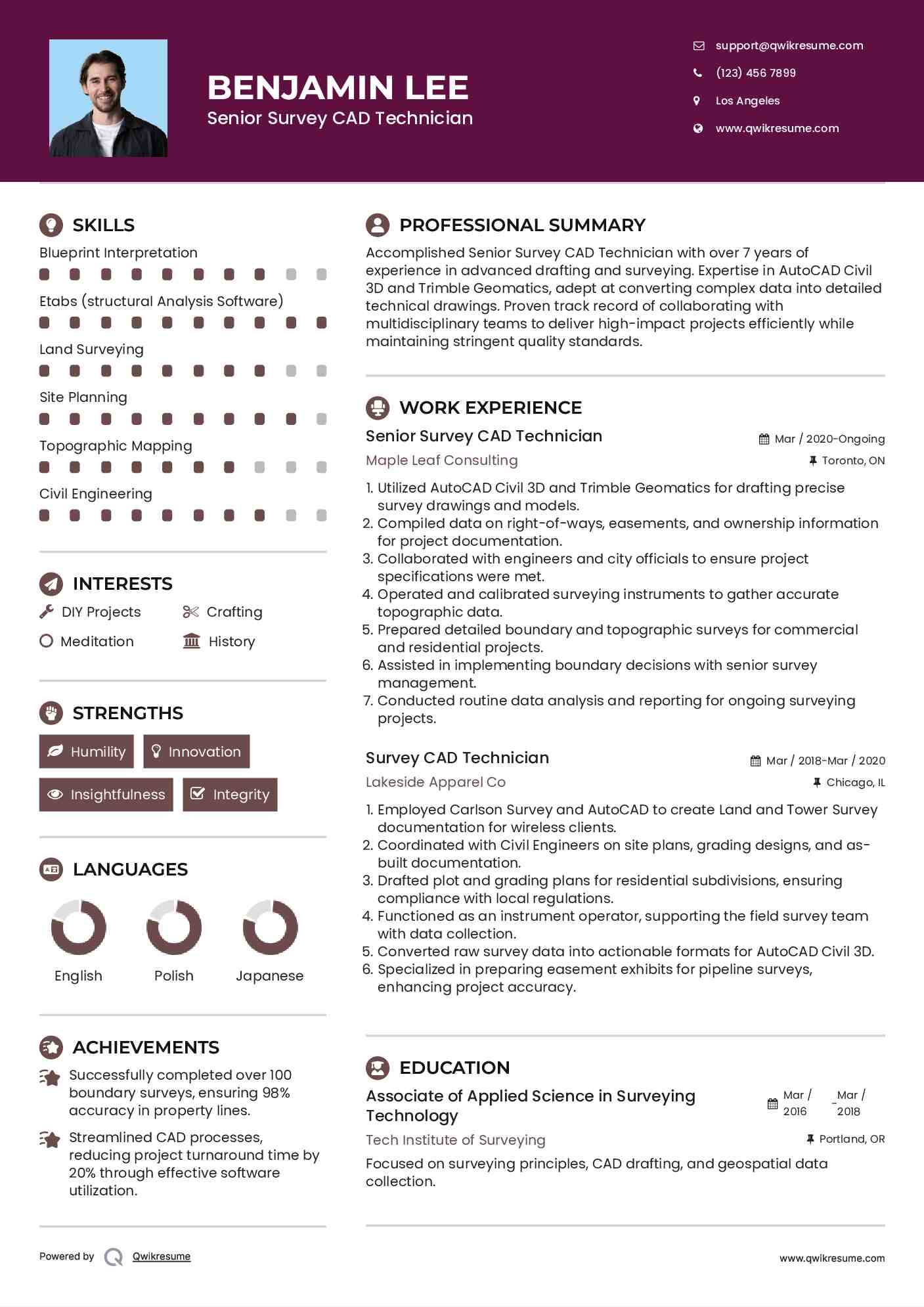
Headline : Accomplished Senior Survey CAD Technician with over 7 years of experience in advanced drafting and surveying. Expertise in AutoCAD Civil 3D and Trimble Geomatics, adept at converting complex data into detailed technical drawings. Proven track record of collaborating with multidisciplinary teams to deliver high-impact projects efficiently while maintaining stringent quality standards.
Skills : Blueprint Interpretation, Etabs (structural Analysis Software), Land Surveying, Site Planning, Topographic Mapping, Civil Engineering
Description :
Utilized AutoCAD Civil 3D and Trimble Geomatics for drafting precise survey drawings and models.
Compiled data on right-of-ways, easements, and ownership information for project documentation.
Collaborated with engineers and city officials to ensure project specifications were met.
Operated and calibrated surveying instruments to gather accurate topographic data.
Prepared detailed boundary and topographic surveys for commercial and residential projects.
Assisted in implementing boundary decisions with senior survey management.
Conducted routine data analysis and reporting for ongoing surveying projects.
Experience
5-7 Years
Level
Senior
Education
AAS
Survey CAD Technician Resume
Summary : With a decade of specialized experience as a Survey CAD Technician, I excel in transforming complex survey data into precise CAD drawings and models. My expertise in AutoCAD and Civil 3D, combined with a strong commitment to quality and collaboration, ensures successful project delivery. I am passionate about leveraging technology to enhance surveying processes and drive operational excellence.
Produced detailed land survey drawings using AutoCAD 2007, Carlson 2009, and MicroStation with GeoPack, displaying existing features and utilities.
Processed raw survey data with GeoPak and MicroStation, ensuring accuracy in final deliverables.
Performed coordinate geometry calculations for boundaries, right-of-way surveys, and legal descriptions.
Contributed to projects including DART and various TxDOT initiatives, demonstrating adaptability to diverse requirements.
Executed boundary, lot, and topographic surveys, as well as construction calculations for various site plans.
Conducted deed research and survey computations, enhancing the accuracy of mapping and documentation.
Collaborated with multidisciplinary teams to align project objectives and improve workflow efficiency.
Experience
7-10 Years
Level
Management
Education
AAS Surveying Tech
Lead Survey CAD Technician Resume
Summary : Accomplished Lead Survey CAD Technician with 10 years of expertise in producing high-quality CAD drawings and models from complex survey data. Proficient in AutoCAD and Civil 3D, I excel in managing diverse surveying projects and collaborating with multidisciplinary teams. My commitment to precision and quality assurance drives project success and operational efficiency in all phases of surveying.
Skills : Land Surveying Methods, Global Mapper Software, Site Plan Development, Field Data Collection
Description :
Designed and reviewed detailed CAD drawings, ensuring compliance with project specifications.
Executed complex survey tasks using advanced GPS, total stations, and data collectors.
Served as a project lead, coordinating field crews and overseeing survey operations.
Conducted quality control reviews of processed data and field notes before final submissions.
Maintained and updated the survey database, ensuring accuracy and accessibility of project data.
Collaborated with engineers and planners to align survey outputs with project goals.
Provided mentorship to junior technicians, enhancing team skills and knowledge.
Experience
10+ Years
Level
Management
Education
B.S. Surveying Eng.
Survey CAD Technician Resume
Headline : Accomplished Survey CAD Technician with 7 years of specialized experience in transforming field data into precise CAD drawings and models. Proficient in AutoCAD and Civil 3D, I excel at collaborating with multidisciplinary teams to ensure project accuracy and efficiency. Dedicated to leveraging innovative surveying techniques to enhance project outcomes and drive continuous improvement.
Skills : Data Management, Client Interaction, Report Writing, Boundary Determination, Legal Descriptions, Site Analysis
Description :
Review and verify survey data for accuracy and completeness.
Completed documentation for corner recordation, ensuring compliance with regulations.
Performed field work for various land surveying scopes, including boundary locations and topographic surveys.
Assisted CAD Technicians in preparing detailed plans and plats using CAD software.
Operated surveying equipment and maintained company vehicles safely.
Followed established safety protocols and procedures on-site.
Traveled to project sites as required for fieldwork and assessments.
Experience
5-7 Years
Level
Consultant
Education
AAS Surveying
Freelance Survey CAD Technician Resume
Objective : Skilled Survey CAD Technician with 5 years of experience in transforming field data into accurate CAD drawings and models. Proficient in AutoCAD and Civil 3D, I excel in producing detailed technical documentation for surveying projects. My collaborative approach enhances project execution and ensures compliance with industry standards, contributing to successful outcomes.
Skills : Gis Software Skills, Surveying Techniques, Data Analysis, Technical Report Preparation, 3d Modeling, Risk Assessment
Description :
Identified potential issues during survey operations and proposed effective solutions.
Applied comprehensive knowledge of land surveying principles and practices.
Conducted minor trigonometric calculations to support survey accuracy.
Maintain organized files and databases for survey projects.
Engaged with public and governmental agencies to facilitate project approvals and manage field crews.
Utilized CAD software for drafting, enhancing project deliverables through effective use of technology.
Conducted independent research to support project development and execution.
Experience
2-5 Years
Level
Freelancer
Education
AAS Surveying
Survey CAD Technician Resume
Summary : Bringing a decade of extensive experience as a Survey CAD Technician, I specialize in transforming intricate survey data into precise CAD models and drawings. My proficiency in industry-standard software, coupled with a strong focus on quality and teamwork, drives successful project outcomes. I am dedicated to optimizing surveying processes and delivering exceptional results through innovative solutions.
Skills : Survey Data Analysis, Technical Reporting, Survey Software Expertise, Drones In Surveying, Spatial Analysis, Land Use Planning
Description :
Collaborated with the survey manager to prepare field crews for various surveying projects.
Executed data processing and maintained databases to ensure accuracy and reliability.
Developed digital terrain models and conducted contour mapping for project planning.
Adhered to all safety regulations while working on-site to ensure a safe working environment.
Produced as-built, boundary, and topographic survey deliverables meeting industry standards.
Applied SAM standards to data processing, ensuring compliance with project specifications.
Monitored field crew productivity and quality, providing feedback for continuous improvement.
Experience
10+ Years
Level
Executive
Education
AAS Surveying
Survey CAD Technician Resume
Objective : Enthusiastic Survey CAD Technician with 2 years of experience in drafting and surveying projects. Adept at utilizing CAD software to convert field data into precise technical drawings. Focused on enhancing project quality and efficiency through attention to detail and effective communication. Eager to contribute to innovative surveying initiatives and support team success.
Skills : Project Coordination, Land Development, Environmental Assessment, Data Analysis Skills, 3d Modeling Expertise
Description :
Conducted quality control of field deliverables to ensure adherence to standards.
Collaborated with supervisors to align project outcomes with client specifications.
Reviewed project files to gather necessary materials and information for drafting.
Analyzed field notes and legal descriptions to support accurate drafting.
Prepared a variety of survey documents, including certified survey maps and topographic maps.
Gained insights into surveying principles and company operations.
Drafted CAD drawings based on conventionally collected survey data.
Creating an account is free and takes five seconds.
You'll get access to the PDF version of this resume template.
Choose an option.
Sign up with Google
Sign up with Facebook
Sign up with Linkedin
This helps us make sure you're human and prevents spammers from abusing our services.
By continuing, you agree to our Privacy Policy and Terms.
Unlock the Power of Over 10,000 Resume Samples.
Take your job search to the next level with our extensive collection of 10,000+ resume samples. Find inspiration for your own resume and gain a competitive edge in your job search.
Get Hired Faster with Resume Assistant.
Make your resume shine with our Resume Assistant. You'll receive a real-time score as you edit, helping you to optimize your skills, experience, and achievements for the role you want.
Get Noticed with Resume Templates that Beat the ATS.
Get past the resume screeners with ease using our optimized templates. Our professional designs are tailored to beat the ATS and help you land your dream job.
Build an ATS-friendly Survey CAD Technician Resume